Rural Stormwater project moving forward
Healthy Lake Huron’s Rural Stormwater Management Model (RSWMM) project is moving closer to completion of new computer modelling software to better understand how water runs off land during a storm event in rural areas and how to reduce the impacts of that stormwater runoff on water quality.
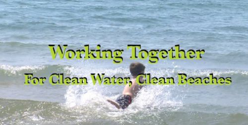
Earlier this year, the project team released three new online videos that highlight landowner efforts to keep soil on the land and out of Lake Huron. The main video, Working Together for Clean Water, Clean Beaches, features landowners and conservation staff describing projects underway to preserve topsoil and keep bacteria, chemicals, and sediment out of watercourses.
The video covers Healthy Lake Huron’s five priority watersheds: Lambton Shores, Main Bayfield, Bayfield North (Gullies), Garvey Creek-Glenn Drain (North Shore), and Pine River.
A second three-minute video shot at Bannockburn Conservation Area focuses on work residents around the Bayfield River are leading to share their Main Bayfield Watershed Plan and translate it into local action.
The third two-and-a-half minute video features students from Lucknow Central Public School planting dune grasses along the shore, a project led by the Lake Huron Centre for Coastal Conservation.
"It’s very powerful to hear local people share their personal stories and we hope their work and their vision will give other residents ideas of some things they can do to protect and improve water quality in their local creek or river and Lake Huron," said Tim Cumming, Communications Specialist with Ausable Bayfield Conservation and the Rural Stormwater Project.
Ausable Bayfield Conservation is leading the project on behalf of the Healthy Lake Huron partnership, which includes federal and provincial ministries, local governments, conservation and public health agencies, academic institutions, and local environmental and community groups.
The installation of new or upgraded monitoring stations in each of the five priority watersheds has improved long-term monitoring of water quality, quantity, and weather.
The improved data will assist project partners as they continue to develop the technical and on-ground elements of the RSWMM. This tool will give municipalities and conservation field staff the best information possible to support project design and landowner best management practices and projects.
The computer model will show what projects should work best to manage stormwater runoff to protect water quality, the ideal scale for projects, and the best locations to place them for the best results. When complete, the model will help landowners and funders to decide where they can invest limited stewardship dollars for the most benefit to Lake Huron water quality and the people who rely on the lake.
Urban areas already use computer models to manage stormwater runoff, and some current models have rural features. But no single model currently exists with all the features needed to properly understand and manage stormwater runoff effectively in rural areas, like Lake Huron’s southeastern shoreline.
The new model will combine urban modeling features with rural features such as agricultural best management practices; understanding changes from season to season or even within a season (such as changes in crop cover); modeling of roads, ditches, and culverts; slope and terrain types; dynamic travel of water running over land; tracking of key pollutants (sediment, phosphorus and nitrogen); and other features.
"The model will be a new tool to give people more detailed information about how their projects can reduce the impact of runoff during storm events," said Alec Scott, manager of the RSWMM project. "When people can see the benefits created by a wetland, or berm, or natural barrier, or a planting project, or a change in cropping practices, they may be more likely to consider doing that project, or adopting that practice, on their property."
Two firms are working under contract to create the model: Computational Hydraulics International (CHI) and Emmons & Olivier Resources, Inc. (EOR).
The model will build upon PCSWMM software which uses the US Environmental Protection Agency’s Stormwater Management Model (SWMM) as its base.
The Rural Stormwater Management Model Project is funded by a three-year, $700,000 grant from the Ontario Ministry of the Environment’s Showcasing Water Innovation Program, with $200,000 in further support and participation from Healthy Lake Huron partners.
For more information or to view the videos visit http://www.ruralstormwater.com